 vesseltracker.com
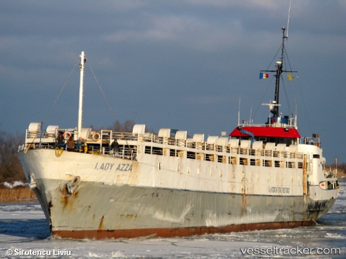
Find the position of the vessel Lady Maria on the map. The latter are known coordinates and path.
marine traffic ship tracker show on live map
The current position of vessel Lady Maria is 40.0295 lat / 26.1768 lng. Updated: 2024-11-26 20:44:30 UTCCurrently sailing under the flag of Tanzania
Lady Maria built in 1965 year
Deadweight:
1265 tDetails:
Last coordinates of the vessel:
UTC, 40.3245, 26.6103, course: -1, speed: 10.6UTC, 40.2098, 26.4073, course: -1, speed: 11.1
UTC, 40.1602, 26.3866, course: -1, speed: 11.3
2024-11-26 20:44:30 UTC, 40.0295, 26.1768, course: -1, speed: 11.7