 vesseltracker.com
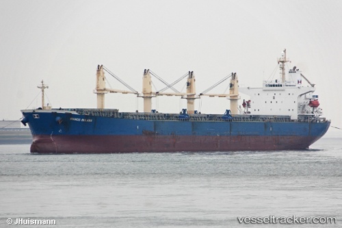
Vessel Lady Mary IMO: 9228992, MMSI: 352391000 Bulk Carrier
UTC, 14.36045, 67.87957, course: 141, speed: 10.1
UTC, 14.02833, 68.17667, course: -1, speed: 9
2026-02-21 13:36:22 UTC, 13.89270, 68.30290, course: 142, speed: 9.6
Live AIS position:
UTC. 239 nm N of Tinaquillo),
updated 2026-02-21 13:36:22 UTC.
Find the position of the vessel Lady Mary on the map. The latter are known coordinates and path.
marine traffic ship tracker show on live map
The current position of vessel Lady Mary is 13.89270 lat / 68.30290 lng. Updated: 2026-02-21 13:36:22 UTCCurrently sailing under the flag of Panama
Lady Mary built in 2001 year
Deadweight:
52027 tDetails:
Last coordinates of the vessel:
UTC, 14.58057, 67.67819, course: 139, speed: 10UTC, 14.36045, 67.87957, course: 141, speed: 10.1
UTC, 14.02833, 68.17667, course: -1, speed: 9
2026-02-21 13:36:22 UTC, 13.89270, 68.30290, course: 142, speed: 9.6