 vesseltracker.com
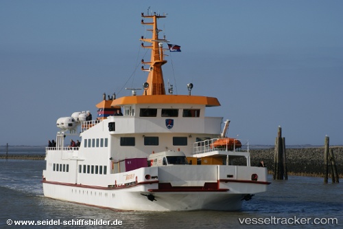
Vessel Langeoog 4 IMO: 7822469, MMSI: 211270830 Passenger Ship
UTC, 53.67500, 7.57333, course: -1, speed: 0
UTC, 53.67584, 7.57438, course: 342, speed: 0
2026-02-23 14:08:17 UTC, 53.67584, 7.57438, course: 342, speed: 0
Live AIS position:
UTC. Near BENSERSIEL),
updated 2026-02-23 14:08:17 UTC.
Find the position of the vessel Langeoog 4 on the map. The latter are known coordinates and path.
marine traffic ship tracker show on live map
The current position of vessel Langeoog 4 is 53.67584 lat / 7.57438 lng. Updated: 2026-02-23 14:08:17 UTCDetails:
Last coordinates of the vessel:
UTC, 53.65970, 7.08376, course: 73, speed: 7.9UTC, 53.67500, 7.57333, course: -1, speed: 0
UTC, 53.67584, 7.57438, course: 342, speed: 0
2026-02-23 14:08:17 UTC, 53.67584, 7.57438, course: 342, speed: 0