 vesseltracker.com
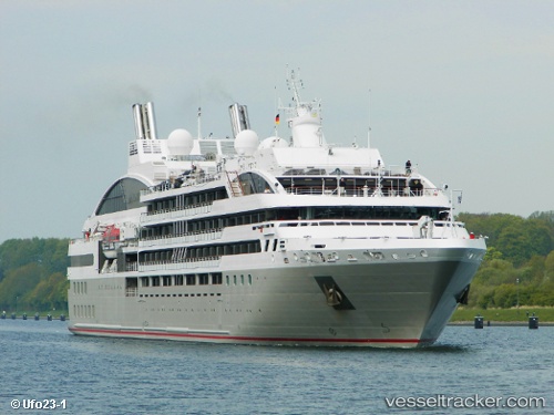
Vessel Le Soleal IMO: 9641675, MMSI: 578000200 Cruise Ship
UTC, -3.01313, 151.12939, course: 317, speed: 12.1
UTC, -2.78763, 150.64919, course: 288, speed: 12.4
2026-03-03 15:53:30 UTC, -2.53167, 150.62500, course: -1, speed: 12
Live AIS position:
UTC. 43 nm NW of Lakuramau),
updated 2026-03-03 15:53:30 UTC.
Find the position of the vessel Le Soleal on the map. The latter are known coordinates and path.
marine traffic ship tracker show on live map
The current position of vessel Le Soleal is -2.53167 lat / 150.62500 lng. Updated: 2026-03-03 15:53:30 UTCDetails:
Last coordinates of the vessel:
UTC, -3.21833, 151.32832, course: -1, speed: 12UTC, -3.01313, 151.12939, course: 317, speed: 12.1
UTC, -2.78763, 150.64919, course: 288, speed: 12.4
2026-03-03 15:53:30 UTC, -2.53167, 150.62500, course: -1, speed: 12