 vesseltracker.com
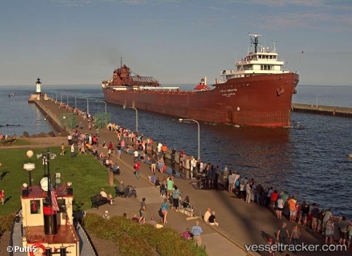
Vessel Lee A Tregurtha IMO: 5385625, MMSI: 366904950 Self Discharging Bulk Carrier
Live AIS position:
UTC. 24 nm NW of White Pine),
updated 2026-01-16 08:28:55 UTC.
Find the position of the vessel Lee A Tregurtha on the map. The latter are known coordinates and path.
marine traffic ship tracker show on live map
The current position of vessel Lee A Tregurtha is 46.98306 lat / -90.05132 lng. Updated: 2026-01-16 08:28:55 UTCDetails:
Last coordinates of the vessel:
2026-01-16 08:28:55 UTC, 46.98306, -90.05132, course: 307, speed: 10