 vesseltracker.com
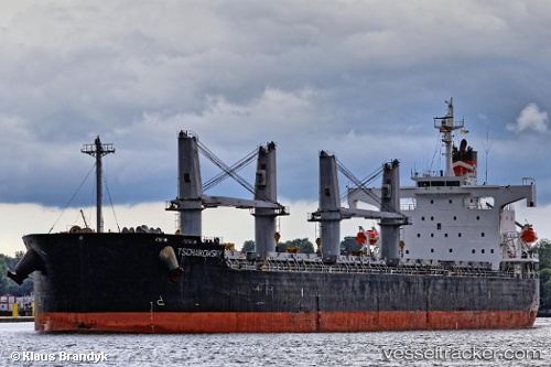
Vessel RAYHONG IMO: 9403073, MMSI: 636024656 Bulk Carrier
UTC, 30.01162, -146.23366, course: 100, speed: 10.9
UTC, 29.97133, -145.89882, course: 99, speed: 10.9
2026-03-04 16:05:04 UTC, 29.96076, -145.80251, course: 97, speed: 10.9
Live Vessel RAYHONG Analytics (details, animations, etc.)
Live AIS position: UTC. Open sea, approx. 410 nm off the nearest listed port), updated 2026-03-04 16:05:04 UTC.Find the position of the vessel RAYHONG on the map. The latter are known coordinates and path.
marine traffic ship tracker show on live map
The current position of vessel RAYHONG is 29.96076 lat / -145.80251 lng. Updated: 2026-03-04 16:05:04 UTCCurrently sailing under the flag of Liberia
Details:
Last coordinates of the vessel:
UTC, 30.05200, -146.54916, course: 101, speed: 10.7UTC, 30.01162, -146.23366, course: 100, speed: 10.9
UTC, 29.97133, -145.89882, course: 99, speed: 10.9
2026-03-04 16:05:04 UTC, 29.96076, -145.80251, course: 97, speed: 10.9