 vesseltracker.com
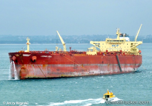
Find the position of the vessel LEO on the map. The latter are known coordinates and path.
marine traffic ship tracker show on live map
The current position of vessel LEO is 29.7397 lat / 32.5828 lng. Updated: 2025-03-02 20:03:03 UTCCurrently sailing under the flag of Barbados
LEO built in 2011 year
Port of registry:
Monrovia (capital city of Liberia)Deadweight:
156630 tPayload_mass:
156630 tonneGross tonnage:
83747Service entry:
2011-01-01T00:00:00ZManufacturer:
Details:
Last coordinates of the vessel:
2025-03-02 20:03:03 UTC, 29.7397, 32.5828, course: 350, speed: 0Track of the vessel in the last 14 days
The ship also appears on the maps: