 vesseltracker.com
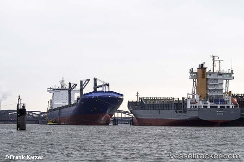
Vessel Leto IMO: 9311880, MMSI: 636091088 Container Ship
UTC, 35.87315, -5.92675, course: 247, speed: 16.8
UTC, 35.46624, -6.45389, course: 226, speed: 17.5
2026-03-04 11:17:36 UTC, 35.30368, -6.65908, course: 229, speed: 16.7
Live Vessel Leto Analytics (details, animations, etc.)
Live AIS position: UTC. 24 nm W of Larache), updated 2026-03-04 11:17:36 UTC.Find the position of the vessel Leto on the map. The latter are known coordinates and path.
marine traffic ship tracker show on live map
The current position of vessel Leto is 35.30368 lat / -6.65908 lng. Updated: 2026-03-04 11:17:36 UTCCurrently sailing under the flag of Liberia
Leto built in 2006 year
Deadweight:
42200 tDetails:
Last coordinates of the vessel:
UTC, 36.10330, -5.39565, course: 179, speed: 5.8UTC, 35.87315, -5.92675, course: 247, speed: 16.8
UTC, 35.46624, -6.45389, course: 226, speed: 17.5
2026-03-04 11:17:36 UTC, 35.30368, -6.65908, course: 229, speed: 16.7