 vesseltracker.com
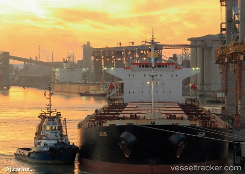
Find the position of the vessel Ligari on the map. The latter are known coordinates and path.
marine traffic ship tracker show on live map
The current position of vessel Ligari is 31.2783 lat / 122.673 lng. Updated: 2024-04-26 20:40:49 UTCPort of registry:
Valletta (capital of Malta)Gross tonnage:
38851Service entry:
2004-01-01T00:00:00ZDetails:
Last coordinates of the vessel:
UTC, 31.2797, 122.675, course: 228, speed: 0.2UTC, 31.2783, 122.673, course: -1, speed: 0
UTC, 31.2787, 122.675, course: 254, speed: 0
2024-04-26 20:40:49 UTC, 31.2783, 122.673, course: -1, speed: 0