 vesseltracker.com
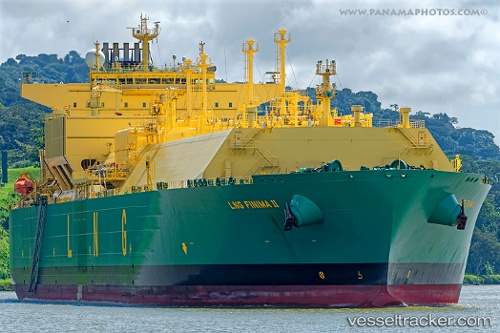
Vessel Lng Finima Ii IMO: 9690145, MMSI: 310722000 Lng Tanker
Live AIS position:
UTC. 359 nm S of Diego Garcia),
updated 2026-01-22 03:06:20 UTC.
Find the position of the vessel Lng Finima Ii on the map. The latter are known coordinates and path.
marine traffic ship tracker show on live map
The current position of vessel Lng Finima Ii is -13.17793 lat / 71.30058 lng. Updated: 2026-01-22 03:06:20 UTCDetails:
Last coordinates of the vessel:
2026-01-22 03:06:20 UTC, -13.17793, 71.30058, course: -1, speed: 17.7