 vesseltracker.com
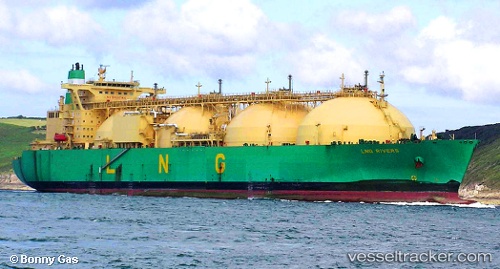
Vessel ARCTIC VOSTOK IMO: 9216298, MMSI: 273278330 LNG Tanker
UTC, 6.32833, 93.16500, course: -1, speed: 10
UTC, 6.31833, 92.95167, course: -1, speed: 10
2026-03-02 05:34:26 UTC, 6.31012, 92.60800, course: -1, speed: 10.3
Live AIS position:
UTC. 163 nm W of Sebang),
updated 2026-03-02 05:34:26 UTC.
Find the position of the vessel ARCTIC VOSTOK on the map. The latter are known coordinates and path.
marine traffic ship tracker show on live map
The current position of vessel ARCTIC VOSTOK is 6.31012 lat / 92.60800 lng. Updated: 2026-03-02 05:34:26 UTCCurrently sailing under the flag of Russia
Details:
Last coordinates of the vessel:
UTC, 6.33167, 93.47833, course: -1, speed: 12UTC, 6.32833, 93.16500, course: -1, speed: 10
UTC, 6.31833, 92.95167, course: -1, speed: 10
2026-03-02 05:34:26 UTC, 6.31012, 92.60800, course: -1, speed: 10.3