 vesseltracker.com
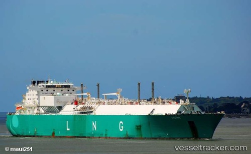
Find the position of the vessel Lng Alliance on the map. The latter are known coordinates and path.
marine traffic ship tracker show on live map
The current position of vessel Lng Alliance is 20.0051 lat / 38.9484 lng. Updated: 2023-07-20 11:49:30 UTCCurrently sailing under the flag of France
Lng Alliance built in 2007 year
Deadweight:
74300 tDetails:
Last coordinates of the vessel:
2023-07-20 11:49:30 UTC, 20.0051, 38.9484, course: 152, speed: 15.5