 vesseltracker.com
Live AIS position:
47.56936° N, 52.69725° W UTC. Near St. John’S),
updated 2025-11-21 15:57:42 UTC.
Find the position of the vessel Louis S St Laurent on the map. The latter are known coordinates and path.
marine traffic ship tracker show on live map
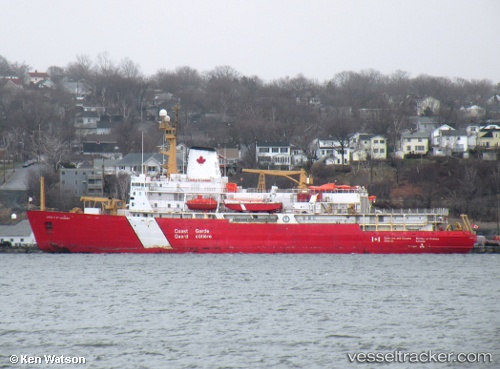
The current position of vessel Louis S St Laurent is 47.56936 lat / -52.69725 lng. Updated: 2025-11-21 15:57:42 UTCCurrently sailing under the flag of Canada
Louis S St Laurent built in 1969 year
Deadweight:
4640 tDetails:
Last coordinates of the vessel:
UTC, 47.56936, -52.69732, course: 352, speed: 0UTC, 47.56933, -52.69730, course: 352, speed: 0
UTC, 47.56935, -52.69732, course: 352, speed: 0
2025-11-21 15:57:42 UTC, 47.56936, -52.69725, course: 353, speed: 0
Track of the vessel in the last 14 days
The ship also appears on the maps: