 vesseltracker.com
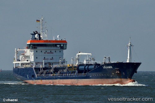
Find the position of the vessel Ls Jamie on the map. The latter are known coordinates and path.
marine traffic ship tracker show on live map
The current position of vessel Ls Jamie is 51.9573 lat / 3.80646 lng. Updated: 2025-08-18 20:02:33 UTCCurrently sailing under the flag of Gibraltar
Ls Jamie built in 2009 year
Deadweight:
5756 tDetails:
Last coordinates of the vessel:
UTC, 51.9557, 3.80688, course: 37, speed: 0.3UTC, 51.9559, 3.80663, course: 48, speed: 0.1
UTC, 51.9561, 3.80638, course: 62, speed: 0.2
2025-08-18 20:02:33 UTC, 51.9573, 3.80646, course: 99, speed: 0.3