 vesseltracker.com
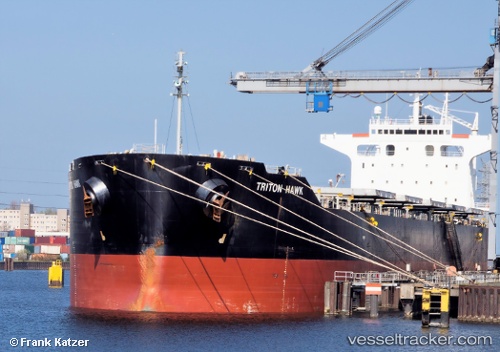
Vessel MAGIC NOVA IMO: 9425679, MMSI: 538009112 Bulk Carrier
UTC, 12.32598, -27.41176, course: 19, speed: 11.1
UTC, 12.76513, -27.25908, course: 19, speed: 11.3
2026-02-21 17:39:06 UTC, 13.04573, -27.16868, course: 18, speed: 11
Live AIS position:
UTC. 190 nm SW of Sao Filipe),
updated 2026-02-21 17:39:06 UTC.
Find the position of the vessel MAGIC NOVA on the map. The latter are known coordinates and path.
marine traffic ship tracker show on live map
The current position of vessel MAGIC NOVA is 13.04573 lat / -27.16868 lng. Updated: 2026-02-21 17:39:06 UTCCurrently sailing under the flag of Marshall Islands
MAGIC NOVA built in 2010 year
Deadweight:
78833 tDetails:
Last coordinates of the vessel:
UTC, 12.04403, -27.50768, course: 17, speed: 11.5UTC, 12.32598, -27.41176, course: 19, speed: 11.1
UTC, 12.76513, -27.25908, course: 19, speed: 11.3
2026-02-21 17:39:06 UTC, 13.04573, -27.16868, course: 18, speed: 11