 vesseltracker.com
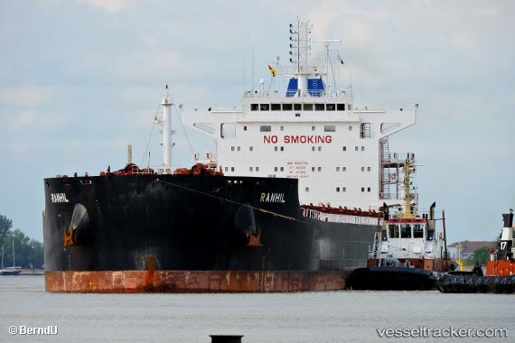
Vessel MAGIC STARLIGHT IMO: 9687710, MMSI: 538009447 Bulk Carrier
UTC, 52.43376, 162.26990, course: 73, speed: 11.5
UTC, 52.56067, 162.99844, course: 73, speed: 11.8
2026-02-21 15:41:02 UTC, 52.65478, 163.55975, course: 75, speed: 10.8
Live AIS position:
UTC. 140 nm NE of Czarny Bor),
updated 2026-02-21 15:41:02 UTC.
Find the position of the vessel MAGIC STARLIGHT on the map. The latter are known coordinates and path.
marine traffic ship tracker show on live map
The current position of vessel MAGIC STARLIGHT is 52.65478 lat / 163.55975 lng. Updated: 2026-02-21 15:41:02 UTCCurrently sailing under the flag of Marshall Islands
MAGIC STARLIGHT built in 2015 year
Deadweight:
81048 tDetails:
Last coordinates of the vessel:
UTC, 52.36959, 161.93724, course: 73, speed: 11.6UTC, 52.43376, 162.26990, course: 73, speed: 11.5
UTC, 52.56067, 162.99844, course: 73, speed: 11.8
2026-02-21 15:41:02 UTC, 52.65478, 163.55975, course: 75, speed: 10.8