 vesseltracker.com
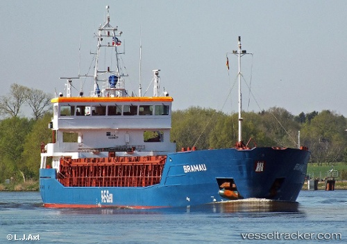
Vessel MAINTAL IMO: 9280677, MMSI: 255806439 General Cargo Ship
UTC, 43.03256, 7.50809, course: 258, speed: 8.6
UTC, 43.00495, 7.29595, course: 259, speed: 9
2026-02-22 07:45:52 UTC, 42.94908, 6.83565, course: 260, speed: 8.8
Live AIS position:
UTC. 18 nm SE of Ramatuelle),
updated 2026-02-22 07:45:52 UTC.
Find the position of the vessel MAINTAL on the map. The latter are known coordinates and path.
marine traffic ship tracker show on live map
The current position of vessel MAINTAL is 42.94908 lat / 6.83565 lng. Updated: 2026-02-22 07:45:52 UTCCurrently sailing under the flag of Portugal (MAR)
MAINTAL built in 2006 year
Deadweight:
3806 tDetails:
Last coordinates of the vessel:
UTC, 43.09497, 8.01570, course: 259, speed: 8.9UTC, 43.03256, 7.50809, course: 258, speed: 8.6
UTC, 43.00495, 7.29595, course: 259, speed: 9
2026-02-22 07:45:52 UTC, 42.94908, 6.83565, course: 260, speed: 8.8