 vesseltracker.com
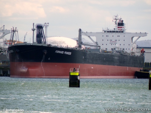
Vessel MAKALU IMO: 9314105, MMSI: 629009658 Crude Oil Tanker
UTC, 29.70367, 32.60814, course: 346, speed: 0.3
UTC, 29.70367, 32.60814, course: 346, speed: 0.3
2026-02-20 22:52:45 UTC, 29.70367, 32.60814, course: 346, speed: 0.3
Live AIS position:
UTC. Near Ras Sudr),
updated 2026-02-20 22:52:45 UTC.
Find the position of the vessel MAKALU on the map. The latter are known coordinates and path.
marine traffic ship tracker show on live map
The current position of vessel MAKALU is 29.70367 lat / 32.60814 lng. Updated: 2026-02-20 22:52:45 UTCCurrently sailing under the flag of Gambia
MAKALU built in 2005 year
Deadweight:
107081 tDetails:
Last coordinates of the vessel:
UTC, 29.70368, 32.60793, course: 357, speed: 0.4UTC, 29.70367, 32.60814, course: 346, speed: 0.3
UTC, 29.70367, 32.60814, course: 346, speed: 0.3
2026-02-20 22:52:45 UTC, 29.70367, 32.60814, course: 346, speed: 0.3