 vesseltracker.com
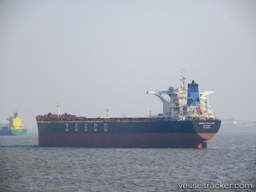
Vessel MANDY IMO: 9582831, MMSI: 563232500 Cargo
UTC, 36.79893, 122.49275, course: 165, speed: 0.2
UTC, 36.79791, 122.49609, course: 221, speed: 0.3
2026-02-27 08:17:40 UTC, 36.79697, 122.49589, course: 275, speed: 0.3
Live AIS position:
UTC. Near Shidao Pt),
updated 2026-02-27 08:17:40 UTC.
Find the position of the vessel MANDY on the map. The latter are known coordinates and path.
marine traffic ship tracker show on live map
The current position of vessel MANDY is 36.79697 lat / 122.49589 lng. Updated: 2026-02-27 08:17:40 UTCCurrently sailing under the flag of Singapore
Details:
Last coordinates of the vessel:
UTC, 36.79572, 122.49115, course: 71, speed: 0.1UTC, 36.79893, 122.49275, course: 165, speed: 0.2
UTC, 36.79791, 122.49609, course: 221, speed: 0.3
2026-02-27 08:17:40 UTC, 36.79697, 122.49589, course: 275, speed: 0.3