 vesseltracker.com
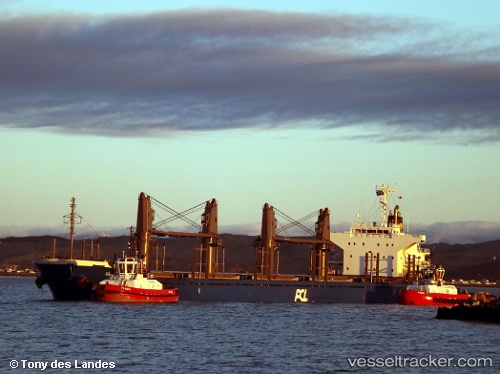
Vessel AL MANHAL IMO: 9682904, MMSI: 636025404 Cargo
UTC, 9.16994, 108.83851, course: 212, speed: 12.4
UTC, 8.82168, 108.59932, course: 213, speed: 12.3
2026-02-27 05:15:37 UTC, 8.59386, 108.42218, course: 216, speed: 12.1
Live AIS position:
UTC. 17 nm NW of Dai Hung (Tandem Load)),
updated 2026-02-27 05:15:37 UTC.
Find the position of the vessel AL MANHAL on the map. The latter are known coordinates and path.
marine traffic ship tracker show on live map
The current position of vessel AL MANHAL is 8.59386 lat / 108.42218 lng. Updated: 2026-02-27 05:15:37 UTCCurrently sailing under the flag of Liberia
Details:
Last coordinates of the vessel:
UTC, 9.50122, 109.11290, course: 217, speed: 11.7UTC, 9.16994, 108.83851, course: 212, speed: 12.4
UTC, 8.82168, 108.59932, course: 213, speed: 12.3
2026-02-27 05:15:37 UTC, 8.59386, 108.42218, course: 216, speed: 12.1