 vesseltracker.com
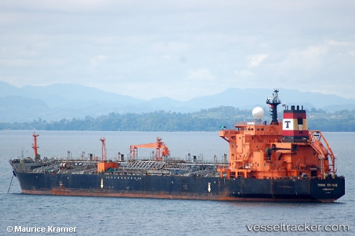
Vessel MAOMING IMO: 9215103, MMSI: 422963400 Oil/Chemical Tanker
UTC, 29.72823, 49.38052, course: -1, speed: 0.3
UTC, 29.72811, 49.37975, course: -1, speed: 0
2026-02-28 13:36:24 UTC, 29.72818, 49.37972, course: -1, speed: 0
Live AIS position:
UTC. 29 nm E of Basrah Oil Terminal),
updated 2026-02-28 13:36:24 UTC.
Find the position of the vessel MAOMING on the map. The latter are known coordinates and path.
marine traffic ship tracker show on live map
The current position of vessel MAOMING is 29.72818 lat / 49.37972 lng. Updated: 2026-02-28 13:36:24 UTCCurrently sailing under the flag of Iran
Details:
Last coordinates of the vessel:
UTC, 29.72831, 49.38027, course: -1, speed: 0.4UTC, 29.72823, 49.38052, course: -1, speed: 0.3
UTC, 29.72811, 49.37975, course: -1, speed: 0
2026-02-28 13:36:24 UTC, 29.72818, 49.37972, course: -1, speed: 0