 vesseltracker.com
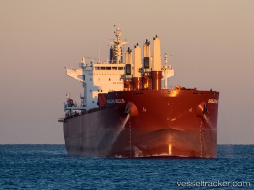
Vessel MARIA IMO: 9698329, MMSI: 538010802 Cargo
UTC, 33.87770, 30.21806, course: -1, speed: 8.6
UTC, 33.82494, 30.28510, course: -1, speed: 8.8
2026-03-02 19:45:30 UTC, 33.54543, 30.66357, course: 131, speed: 8.7
Live AIS position:
UTC. 113 nm SW of Paphos),
updated 2026-03-02 19:45:30 UTC.
Find the position of the vessel MARIA on the map. The latter are known coordinates and path.
marine traffic ship tracker show on live map
The current position of vessel MARIA is 33.54543 lat / 30.66357 lng. Updated: 2026-03-02 19:45:30 UTCCurrently sailing under the flag of Marshall Islands
Details:
Last coordinates of the vessel:
UTC, 34.11559, 29.90160, course: -1, speed: 8.5UTC, 33.87770, 30.21806, course: -1, speed: 8.6
UTC, 33.82494, 30.28510, course: -1, speed: 8.8
2026-03-02 19:45:30 UTC, 33.54543, 30.66357, course: 131, speed: 8.7