 vesseltracker.com
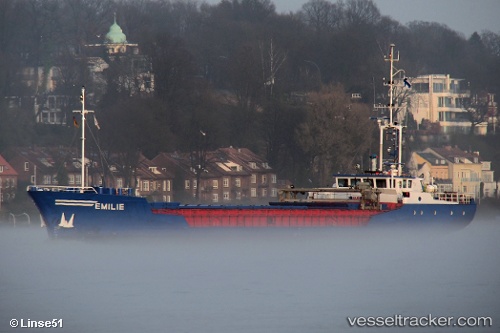
Vessel MARIE IMO: 8801060, MMSI: 238347240 General Cargo Ship
UTC, 43.23500, 16.49333, course: -1, speed: 8
UTC, 43.23500, 16.49333, course: -1, speed: 8
2026-03-03 20:35:52 UTC, 43.18098, 16.57708, course: -1, speed: 0
Live AIS position:
UTC. Near Stari Grad),
updated 2026-03-03 20:35:52 UTC.
Find the position of the vessel MARIE on the map. The latter are known coordinates and path.
marine traffic ship tracker show on live map
The current position of vessel MARIE is 43.18098 lat / 16.57708 lng. Updated: 2026-03-03 20:35:52 UTCCurrently sailing under the flag of Croatia
MARIE built in 1988 year
Deadweight:
1276 tDetails:
Last coordinates of the vessel:
UTC, 43.23500, 16.49333, course: -1, speed: 8UTC, 43.23500, 16.49333, course: -1, speed: 8
UTC, 43.23500, 16.49333, course: -1, speed: 8
2026-03-03 20:35:52 UTC, 43.18098, 16.57708, course: -1, speed: 0