 vesseltracker.com
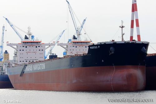
Vessel MARIGO P IMO: 9689706, MMSI: 636024610 Cargo
UTC, -14.24095, 116.30999, course: 355, speed: 12.4
UTC, -13.84055, 116.26588, course: 354, speed: 12
2026-03-04 06:28:48 UTC, -13.23033, 116.20172, course: 350, speed: 12.3
Live AIS position:
UTC. 262 nm S of BENETE),
updated 2026-03-04 06:28:48 UTC.
Find the position of the vessel MARIGO P on the map. The latter are known coordinates and path.
marine traffic ship tracker show on live map
The current position of vessel MARIGO P is -13.23033 lat / 116.20172 lng. Updated: 2026-03-04 06:28:48 UTCCurrently sailing under the flag of Liberia
Details:
Last coordinates of the vessel:
UTC, -14.60229, 116.35364, course: 354, speed: 11.9UTC, -14.24095, 116.30999, course: 355, speed: 12.4
UTC, -13.84055, 116.26588, course: 354, speed: 12
2026-03-04 06:28:48 UTC, -13.23033, 116.20172, course: 350, speed: 12.3