 vesseltracker.com
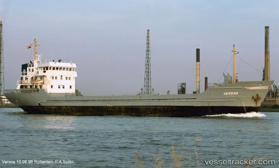
Vessel MARIONA STAR IMO: 7222982, MMSI: 630001201 General Cargo
UTC, 22.63599, 38.09534, course: 142, speed: 9.3
UTC, 22.44440, 38.24443, course: 151, speed: 8.9
2026-03-04 17:56:36 UTC, 22.20347, 38.37120, course: 169, speed: 8.3
Live Vessel MARIONA STAR Analytics (details, animations, etc.)
Live AIS position: UTC. 41 nm W of King Abdullah City), updated 2026-03-04 17:56:36 UTC.Find the position of the vessel MARIONA STAR on the map. The latter are known coordinates and path.
marine traffic ship tracker show on live map
The current position of vessel MARIONA STAR is 22.20347 lat / 38.37120 lng. Updated: 2026-03-04 17:56:36 UTCCurrently sailing under the flag of Guinea
Details:
Last coordinates of the vessel:
UTC, 22.94919, 37.89395, course: 149, speed: 9.1UTC, 22.63599, 38.09534, course: 142, speed: 9.3
UTC, 22.44440, 38.24443, course: 151, speed: 8.9
2026-03-04 17:56:36 UTC, 22.20347, 38.37120, course: 169, speed: 8.3