 vesseltracker.com
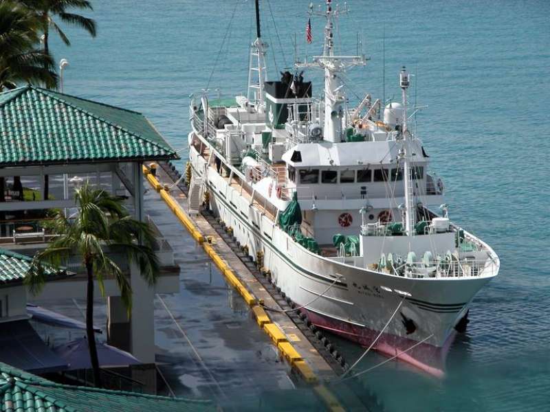
Vessel MATRITSA IMO: 8810451, MMSI: 273447860 Fishing Vessel
UTC, 43.10333, 131.91333, course: -1, speed: 0
UTC, 43.10333, 131.91333, course: -1, speed: 0
2026-02-03 10:04:55 UTC, 43.10333, 131.91333, course: -1, speed: 0
Live AIS position:
UTC. Near Dalzavod),
updated 2026-02-03 10:04:55 UTC.
Find the position of the vessel MATRITSA on the map. The latter are known coordinates and path.
marine traffic ship tracker show on live map
The current position of vessel MATRITSA is 43.10333 lat / 131.91333 lng. Updated: 2026-02-03 10:04:55 UTCCurrently sailing under the flag of Russia
MATRITSA built in 1989 year
Deadweight:
448 tDetails:
Last coordinates of the vessel:
UTC, 43.10333, 131.91333, course: -1, speed: 0UTC, 43.10333, 131.91333, course: -1, speed: 0
UTC, 43.10333, 131.91333, course: -1, speed: 0
2026-02-03 10:04:55 UTC, 43.10333, 131.91333, course: -1, speed: 0