 vesseltracker.com
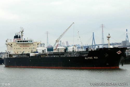
Vessel MAYFAIR IMO: 9391426, MMSI: 538011332 Oil/Chemical Tanker
UTC, 22.49911, 69.83949, course: 310, speed: 3.4
UTC, 22.63404, 69.57067, course: 284, speed: 10.6
2026-03-04 18:15:21 UTC, 22.62414, 69.21419, course: 295, speed: 8.5
Live Vessel MAYFAIR Analytics (details, animations, etc.)
Live AIS position: UTC. 11 nm NE of Okha), updated 2026-03-04 18:15:21 UTC.Find the position of the vessel MAYFAIR on the map. The latter are known coordinates and path.
marine traffic ship tracker show on live map
The current position of vessel MAYFAIR is 22.62414 lat / 69.21419 lng. Updated: 2026-03-04 18:15:21 UTCCurrently sailing under the flag of Marshall Islands
Details:
Last coordinates of the vessel:
UTC, 22.49483, 69.84256, course: 311, speed: 0UTC, 22.49911, 69.83949, course: 310, speed: 3.4
UTC, 22.63404, 69.57067, course: 284, speed: 10.6
2026-03-04 18:15:21 UTC, 22.62414, 69.21419, course: 295, speed: 8.5