 vesseltracker.com
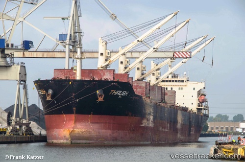
Vessel MBS BALURAN IMO: 9347920, MMSI: 525125020 Bulk Carrier
UTC, -5.81167, 119.79667, course: -1, speed: 11
UTC, -5.73333, 120.17500, course: -1, speed: 12
2026-03-04 13:26:10 UTC, -5.70833, 120.57333, course: -1, speed: 14
Live Vessel MBS BALURAN Analytics (details, animations, etc.)
Live AIS position: UTC. 78 nm SE of Panakukang), updated 2026-03-04 13:26:10 UTC.Find the position of the vessel MBS BALURAN on the map. The latter are known coordinates and path.
marine traffic ship tracker show on live map
The current position of vessel MBS BALURAN is -5.70833 lat / 120.57333 lng. Updated: 2026-03-04 13:26:10 UTCCurrently sailing under the flag of Indonesia
MBS BALURAN built in 2011 year
Deadweight:
53297 tDetails:
Last coordinates of the vessel:
UTC, -5.72667, 119.40500, course: -1, speed: 12UTC, -5.81167, 119.79667, course: -1, speed: 11
UTC, -5.73333, 120.17500, course: -1, speed: 12
2026-03-04 13:26:10 UTC, -5.70833, 120.57333, course: -1, speed: 14