 vesseltracker.com
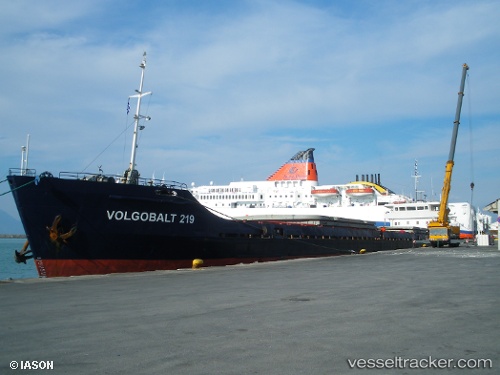
Vessel MEER NA IMO: 8841357, MMSI: 613519500 Cargo
UTC, 40.97027, 28.89653, course: -1, speed: 0
UTC, 40.97035, 28.89647, course: -1, speed: 0
2026-03-04 02:56:59 UTC, 40.97055, 28.89617, course: -1, speed: 0
Live AIS position:
UTC. Near ZEYTINBURNU),
updated 2026-03-04 02:56:59 UTC.
Find the position of the vessel MEER NA on the map. The latter are known coordinates and path.
marine traffic ship tracker show on live map
The current position of vessel MEER NA is 40.97055 lat / 28.89617 lng. Updated: 2026-03-04 02:56:59 UTCCurrently sailing under the flag of Cameroon
Details:
Last coordinates of the vessel:
UTC, 40.97053, 28.89620, course: -1, speed: 0UTC, 40.97027, 28.89653, course: -1, speed: 0
UTC, 40.97035, 28.89647, course: -1, speed: 0
2026-03-04 02:56:59 UTC, 40.97055, 28.89617, course: -1, speed: 0