 vesseltracker.com
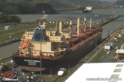
Vessel DARIA IMO: 9578799, MMSI: 255915754 Bulk Carrier
UTC, 15.42167, 108.77500, course: -1, speed: 5
UTC, 15.14833, 109.09833, course: -1, speed: 11
2026-02-28 16:09:47 UTC, 14.88500, 109.32667, course: -1, speed: 12
Live AIS position:
UTC. 33 nm NE of Bong Son),
updated 2026-02-28 16:09:47 UTC.
Find the position of the vessel DARIA on the map. The latter are known coordinates and path.
marine traffic ship tracker show on live map
The current position of vessel DARIA is 14.88500 lat / 109.32667 lng. Updated: 2026-02-28 16:09:47 UTCCurrently sailing under the flag of Portugal
Details:
Last coordinates of the vessel:
UTC, 15.39855, 108.79080, course: 180, speed: 0UTC, 15.42167, 108.77500, course: -1, speed: 5
UTC, 15.14833, 109.09833, course: -1, speed: 11
2026-02-28 16:09:47 UTC, 14.88500, 109.32667, course: -1, speed: 12