 vesseltracker.com
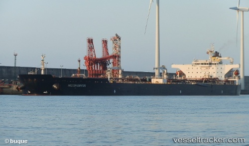
Vessel MILTON SANTOS IMO: 9453884, MMSI: 710032130 Tanker
UTC, -35.20372, 22.59708, course: 250, speed: 12.4
UTC, -35.27511, 21.98779, course: 266, speed: 12.6
2026-02-23 17:44:52 UTC, -35.30970, 21.56285, course: 261, speed: 12.5
Live AIS position:
UTC. 57 nm S of Stilbaai),
updated 2026-02-23 17:44:52 UTC.
Find the position of the vessel MILTON SANTOS on the map. The latter are known coordinates and path.
marine traffic ship tracker show on live map
The current position of vessel MILTON SANTOS is -35.30970 lat / 21.56285 lng. Updated: 2026-02-23 17:44:52 UTCDetails:
Last coordinates of the vessel:
UTC, -35.13321, 22.91079, course: 253, speed: 12.1UTC, -35.20372, 22.59708, course: 250, speed: 12.4
UTC, -35.27511, 21.98779, course: 266, speed: 12.6
2026-02-23 17:44:52 UTC, -35.30970, 21.56285, course: 261, speed: 12.5