 vesseltracker.com
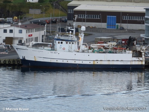
Vessel MITO IMO: 7712846, MMSI: 238046000 Fishing Support Vessel
UTC, 43.52959, 16.46820, course: -1, speed: 0
UTC, 43.52961, 16.46824, course: -1, speed: 0
UTC, 43.52961, 16.46815, course: -1, speed: 0
UTC, 43.52961, 16.46815, course: -1, speed: 0
2026-02-05 13:02:24 UTC, 43.52961, 16.46815, course: -1, speed: 0
Live AIS position:
UTC. Near Vranjic),
updated 2026-02-05 13:02:24 UTC.
Find the position of the vessel MITO on the map. The latter are known coordinates and path.
marine traffic ship tracker show on live map
The current position of vessel MITO is 43.52961 lat / 16.46815 lng. Updated: 2026-02-05 13:02:24 UTCCurrently sailing under the flag of Croatia
MITO built in 1978 year
Deadweight:
0 tDetails:
Last coordinates of the vessel:
UTC, 43.52962, 16.46817, course: -1, speed: 0UTC, 43.52959, 16.46820, course: -1, speed: 0
UTC, 43.52961, 16.46824, course: -1, speed: 0
UTC, 43.52961, 16.46815, course: -1, speed: 0
UTC, 43.52961, 16.46815, course: -1, speed: 0
2026-02-05 13:02:24 UTC, 43.52961, 16.46815, course: -1, speed: 0