 vesseltracker.com
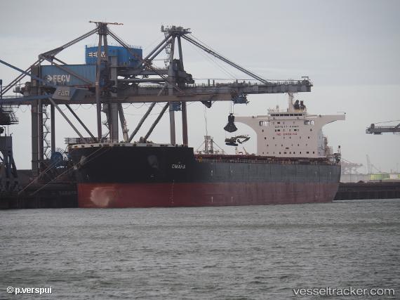
Vessel OMAHA IMO: 9363041, MMSI: 636022374 Bulk Carrier
UTC, 50.00669, -66.76617, course: 28, speed: 0.1
UTC, 50.00651, -66.76489, course: 11, speed: 0
2026-02-22 11:47:24 UTC, 50.00643, -66.76395, course: 356, speed: 0
Live AIS position:
UTC. Near Port-Cartier),
updated 2026-02-22 11:47:24 UTC.
Find the position of the vessel OMAHA on the map. The latter are known coordinates and path.
marine traffic ship tracker show on live map
The current position of vessel OMAHA is 50.00643 lat / -66.76395 lng. Updated: 2026-02-22 11:47:24 UTCCurrently sailing under the flag of Liberia
Details:
Last coordinates of the vessel:
UTC, 50.00631, -66.76528, course: 15, speed: 0UTC, 50.00669, -66.76617, course: 28, speed: 0.1
UTC, 50.00651, -66.76489, course: 11, speed: 0
2026-02-22 11:47:24 UTC, 50.00643, -66.76395, course: 356, speed: 0