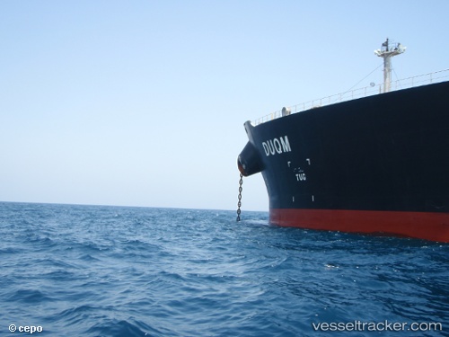
vessel MONOCEROS IMO: 9410387, Crude Oil Tanker vesseltracker.com
Vessel MONOCEROS IMO: 9410387, Crude Oil Tanker
MMSI: 636021950 callsign: 5LGM2 size: 60x333

Find the position of the vessel MONOCEROS on the map. The latter are known coordinates and path.

marine traffic ship tracker show on live map

The current position of vessel MONOCEROS is 86.5875 lat / -118.69 lng. Updated: 2025-02-21 22:54:08 UTC

Currently sailing under the flag of Liberia

MONOCEROS built in 2008 year

Deadweight:
310084 t

Details:


Last coordinates of the vessel:
2025-02-21 22:54:08 UTC, 86.5875, -118.69, course: 344, speed: 13.2

Track of the vessel in the last 14 days


Most frequent ports a vessels calls at MONOCEROS (636021950):

Singapore, traffic: 14
Sambu, traffic: 12
Halul Island, traffic: 3
Mutrah, traffic: 2
Ras Tannurah, traffic: 2
Yokkaichi, traffic: 2
Port Kelang, traffic: 1
Port Louis, traffic: 1
Port Swettenham, traffic: 1

Link to the map:


Find another ship

MONOCEROS (636021950) last ports (portcalls and passsages)

Port Swettenham | 2023-06-16 15:58:13
Singapore | 2022-07-07 10:19:47
Port Louis | 2022-05-17 08:09:23
Sambu | 2022-03-10 06:00:21
Sambu | 2022-03-10 04:00:52
Yokkaichi | 2022-02-09 03:50:06
Ras Tannurah | 2022-01-12 15:50:19
Halul Island | 2022-01-08 21:12:22
Mutrah | 2022-01-07 05:17:40
Singapore | 2021-12-27 07:45:58
Singapore | 2021-12-27 07:40:57
Singapore | 2021-12-27 07:35:48
Sambu | 2021-12-27 07:16:16
Sambu | 2021-12-27 07:01:14
Halul Island | 2021-09-30 16:01:42