 vesseltracker.com
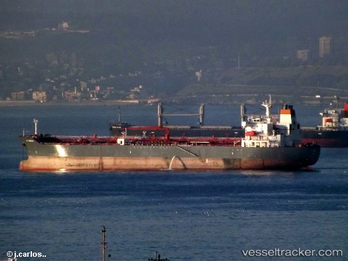
Vessel MOSTAR IMO: 9313474, MMSI: 352003633 Oil/Chemical Tanker
UTC, 6.35401, -10.85857, course: 310, speed: 0.1
UTC, 6.36500, -10.86500, course: -1, speed: 0
2026-02-26 18:24:38 UTC, 6.32693, -10.84485, course: 133, speed: 0.6
Live AIS position:
UTC. Near Monrovia),
updated 2026-02-26 18:24:38 UTC.
Find the position of the vessel MOSTAR on the map. The latter are known coordinates and path.
marine traffic ship tracker show on live map
The current position of vessel MOSTAR is 6.32693 lat / -10.84485 lng. Updated: 2026-02-26 18:24:38 UTCCurrently sailing under the flag of Panama
Details:
Last coordinates of the vessel:
UTC, 6.35500, -10.86167, course: -1, speed: 0UTC, 6.35401, -10.85857, course: 310, speed: 0.1
UTC, 6.36500, -10.86500, course: -1, speed: 0
2026-02-26 18:24:38 UTC, 6.32693, -10.84485, course: 133, speed: 0.6