 vesseltracker.com
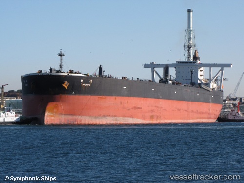
Vessel MS ANGIA IMO: 9246281, MMSI: 352001818 Crude Oil Tanker
Live AIS position:
UTC. 11 nm NE of Weifang),
updated 2026-01-26 07:20:00 UTC.
Find the position of the vessel MS ANGIA on the map. The latter are known coordinates and path.
marine traffic ship tracker show on live map
The current position of vessel MS ANGIA is 37.36577 lat / 119.35278 lng. Updated: 2026-01-26 07:20:00 UTCCurrently sailing under the flag of Panama
MS ANGIA built in 2002 year
Deadweight:
300838 tDetails:
Last coordinates of the vessel:
2026-01-26 07:20:00 UTC, 37.36577, 119.35278, course: 46, speed: 0.4