 vesseltracker.com
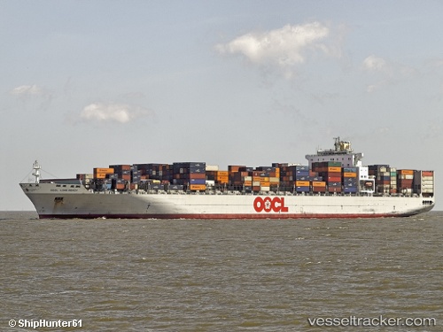
Vessel MSC BRIDGEPORT IMO: 9243409, MMSI: 255803680 Container Ship
UTC, 15.78450, 112.80451, course: 193, speed: 14.1
UTC, 15.40893, 112.52730, course: 216, speed: 14.4
2026-02-22 17:45:58 UTC, 15.15842, 112.33019, course: 215, speed: 14.4
Live AIS position:
UTC. 168 nm NE of Tan Cang Qui Nhon),
updated 2026-02-22 17:45:58 UTC.
Find the position of the vessel MSC BRIDGEPORT on the map. The latter are known coordinates and path.
marine traffic ship tracker show on live map
The current position of vessel MSC BRIDGEPORT is 15.15842 lat / 112.33019 lng. Updated: 2026-02-22 17:45:58 UTCCurrently sailing under the flag of Portugal (MAR)
MSC BRIDGEPORT built in 2003 year
Deadweight:
105436 tDetails:
Last coordinates of the vessel:
UTC, 16.33188, 112.94835, course: 190, speed: 14.2UTC, 15.78450, 112.80451, course: 193, speed: 14.1
UTC, 15.40893, 112.52730, course: 216, speed: 14.4
2026-02-22 17:45:58 UTC, 15.15842, 112.33019, course: 215, speed: 14.4