 vesseltracker.com
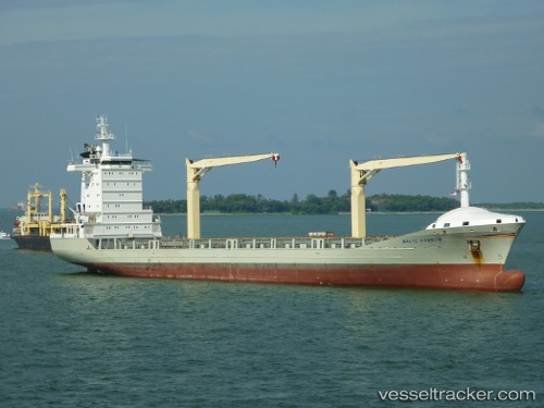
Vessel MSC DIYA F IMO: 9306263, MMSI: 636019762 Container Ship
UTC, 5.72416, 80.60292, course: 99, speed: 8.9
UTC, 5.79857, 80.97850, course: 66, speed: 10
2026-02-22 12:16:44 UTC, 5.94898, 81.25233, course: 62, speed: 10.1
Live AIS position:
UTC. 14 nm SE of HAMBANTOTA),
updated 2026-02-22 12:16:44 UTC.
Find the position of the vessel MSC DIYA F on the map. The latter are known coordinates and path.
marine traffic ship tracker show on live map
The current position of vessel MSC DIYA F is 5.94898 lat / 81.25233 lng. Updated: 2026-02-22 12:16:44 UTCCurrently sailing under the flag of Liberia
MSC DIYA F built in 2005 year
Deadweight:
13827 tDetails:
Last coordinates of the vessel:
UTC, 5.73935, 80.38095, course: 96, speed: 9UTC, 5.72416, 80.60292, course: 99, speed: 8.9
UTC, 5.79857, 80.97850, course: 66, speed: 10
2026-02-22 12:16:44 UTC, 5.94898, 81.25233, course: 62, speed: 10.1