 vesseltracker.com
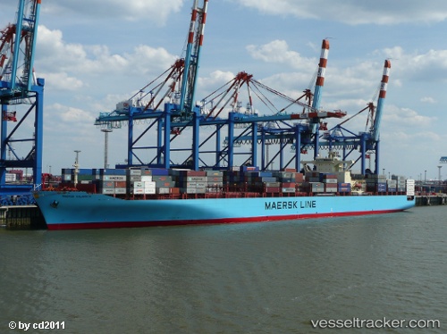
Vessel MSC KALAMATA VII IMO: 9244946, MMSI: 636022111 Container Ship
UTC, -20.94219, 56.54715, course: 36, speed: 17.9
UTC, -20.42835, 56.94093, course: 38, speed: 18.3
2026-03-01 00:08:38 UTC, -20.09161, 57.11646, course: 1, speed: 10.1
Live AIS position:
UTC. 17 nm NW of Flic en Flac),
updated 2026-03-01 00:08:38 UTC.
Find the position of the vessel MSC KALAMATA VII on the map. The latter are known coordinates and path.
marine traffic ship tracker show on live map
The current position of vessel MSC KALAMATA VII is -20.09161 lat / 57.11646 lng. Updated: 2026-03-01 00:08:38 UTCCurrently sailing under the flag of Liberia
Details:
Last coordinates of the vessel:
UTC, -21.55005, 56.03851, course: 54, speed: 16.9UTC, -20.94219, 56.54715, course: 36, speed: 17.9
UTC, -20.42835, 56.94093, course: 38, speed: 18.3
2026-03-01 00:08:38 UTC, -20.09161, 57.11646, course: 1, speed: 10.1