 vesseltracker.com
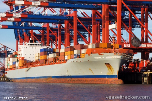
Vessel MSC TAMPA IMO: 9317925, MMSI: 636021760 Container Ship
UTC, 1.25798, 103.64255, course: 269, speed: 1.1
UTC, 1.25418, 103.62052, course: 270, speed: 0
2026-02-06 17:40:57 UTC, 1.25418, 103.62046, course: 270, speed: 0
Live AIS position:
UTC. Near JURONG ISLAND),
updated 2026-02-06 17:40:57 UTC.
Find the position of the vessel MSC TAMPA on the map. The latter are known coordinates and path.
marine traffic ship tracker show on live map
The current position of vessel MSC TAMPA is 1.25418 lat / 103.62046 lng. Updated: 2026-02-06 17:40:57 UTCCurrently sailing under the flag of Liberia
MSC TAMPA built in 2006 year
Deadweight:
66583 tDetails:
Last coordinates of the vessel:
UTC, 1.21467, 103.58798, course: 96, speed: 3.9UTC, 1.25798, 103.64255, course: 269, speed: 1.1
UTC, 1.25418, 103.62052, course: 270, speed: 0
2026-02-06 17:40:57 UTC, 1.25418, 103.62046, course: 270, speed: 0