 vesseltracker.com
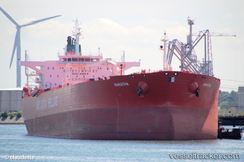
Vessel MT KIROHO IMO: 9252371, MMSI: 314898000 Crude Oil Tanker
UTC, 13.32667, 110.33833, course: -1, speed: 8
UTC, 13.56887, 110.33246, course: 1, speed: 9.2
2026-03-01 04:25:04 UTC, 14.03167, 110.34167, course: -1, speed: 9
Live AIS position:
UTC. 34 nm NE of Tan Cang Qui Nhon),
updated 2026-03-01 04:25:04 UTC.
Find the position of the vessel MT KIROHO on the map. The latter are known coordinates and path.
marine traffic ship tracker show on live map
The current position of vessel MT KIROHO is 14.03167 lat / 110.34167 lng. Updated: 2026-03-01 04:25:04 UTCCurrently sailing under the flag of Barbados
Details:
Last coordinates of the vessel:
UTC, 12.99500, 110.33500, course: -1, speed: 8UTC, 13.32667, 110.33833, course: -1, speed: 8
UTC, 13.56887, 110.33246, course: 1, speed: 9.2
2026-03-01 04:25:04 UTC, 14.03167, 110.34167, course: -1, speed: 9