 vesseltracker.com
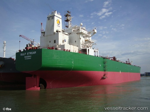
Vessel MULE IMO: 9298662, MMSI: 314842000 Oil Products Tanker
UTC, 35.48974, -4.71641, course: 40, speed: 1.6
UTC, 35.54342, -4.79034, course: 39, speed: 1.7
2026-02-26 03:35:46 UTC, 35.56340, -4.81098, course: -1, speed: 1.6
Live AIS position:
UTC. 22 nm E of Martil),
updated 2026-02-26 03:35:46 UTC.
Find the position of the vessel MULE on the map. The latter are known coordinates and path.
marine traffic ship tracker show on live map
The current position of vessel MULE is 35.56340 lat / -4.81098 lng. Updated: 2026-02-26 03:35:46 UTCCurrently sailing under the flag of Barbados
MULE built in 2005 year
Deadweight:
74999 tDetails:
Last coordinates of the vessel:
UTC, 35.47086, -4.68426, course: 348, speed: 1.1UTC, 35.48974, -4.71641, course: 40, speed: 1.6
UTC, 35.54342, -4.79034, course: 39, speed: 1.7
2026-02-26 03:35:46 UTC, 35.56340, -4.81098, course: -1, speed: 1.6