 vesseltracker.com
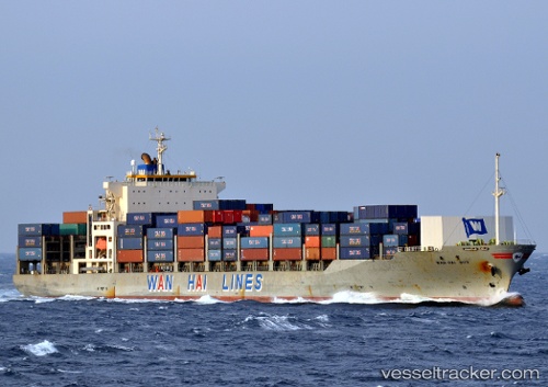
Vessel MUON IMO: 9238179, MMSI: 341310002 Container Ship
UTC, 25.31639, 56.97309, course: 272, speed: 0.4
UTC, 25.32918, 56.97904, course: 284, speed: 0.3
2026-03-01 00:09:00 UTC, 25.33541, 56.98141, course: 281, speed: 0.2
Live AIS position:
UTC. 18 nm E of Offshore Fujairah),
updated 2026-03-01 00:09:00 UTC.
Find the position of the vessel MUON on the map. The latter are known coordinates and path.
marine traffic ship tracker show on live map
The current position of vessel MUON is 25.33541 lat / 56.98141 lng. Updated: 2026-03-01 00:09:00 UTCCurrently sailing under the flag of Saint Kitts and Nevis
Details:
Last coordinates of the vessel:
UTC, 25.30223, 56.97128, course: 329, speed: 0.2UTC, 25.31639, 56.97309, course: 272, speed: 0.4
UTC, 25.32918, 56.97904, course: 284, speed: 0.3
2026-03-01 00:09:00 UTC, 25.33541, 56.98141, course: 281, speed: 0.2