 vesseltracker.com
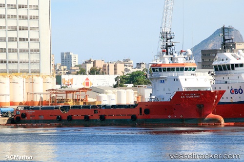
Vessel MURAT ILHAN IMO: 9395446, MMSI: 271048519 Offshore Supply Ship
UTC, 42.27500, 31.55833, course: -1, speed: 8
UTC, 42.27500, 31.55833, course: -1, speed: 8
2026-02-25 00:40:27 UTC, 42.27500, 31.55833, course: -1, speed: 8
Live AIS position:
UTC. 47 nm NW of Bartin),
updated 2026-02-25 00:40:27 UTC.
Find the position of the vessel MURAT ILHAN on the map. The latter are known coordinates and path.
marine traffic ship tracker show on live map
The current position of vessel MURAT ILHAN is 42.27500 lat / 31.55833 lng. Updated: 2026-02-25 00:40:27 UTCCurrently sailing under the flag of Turkey
MURAT ILHAN built in 2009 year
Deadweight:
3240 tDetails:
Last coordinates of the vessel:
UTC, 41.68127, 31.99785, course: 323, speed: 9.5UTC, 42.27500, 31.55833, course: -1, speed: 8
UTC, 42.27500, 31.55833, course: -1, speed: 8
2026-02-25 00:40:27 UTC, 42.27500, 31.55833, course: -1, speed: 8