 vesseltracker.com
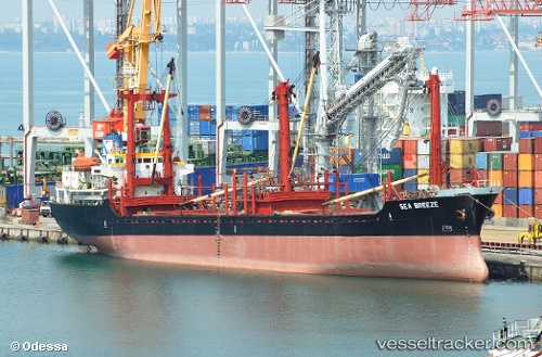
Vessel MUSTAFA K IMO: 8915184, MMSI: 620999144 General Cargo
UTC, 32.36789, 15.22347, course: 352, speed: 0.2
UTC, 32.36791, 15.22348, course: 352, speed: 0.1
2026-02-23 17:55:41 UTC, 32.36788, 15.22347, course: 352, speed: 0.1
Live AIS position:
UTC. Near MISURATA),
updated 2026-02-23 17:55:41 UTC.
Find the position of the vessel MUSTAFA K on the map. The latter are known coordinates and path.
marine traffic ship tracker show on live map
The current position of vessel MUSTAFA K is 32.36788 lat / 15.22347 lng. Updated: 2026-02-23 17:55:41 UTCCurrently sailing under the flag of Comoros
Details:
Last coordinates of the vessel:
UTC, 32.36789, 15.22347, course: 352, speed: 0.4UTC, 32.36789, 15.22347, course: 352, speed: 0.2
UTC, 32.36791, 15.22348, course: 352, speed: 0.1
2026-02-23 17:55:41 UTC, 32.36788, 15.22347, course: 352, speed: 0.1