 vesseltracker.com
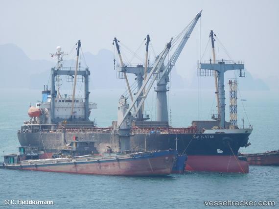
Vessel MYONG SA SIM NI IMO: 9010058, MMSI: 445088000 General Cargo Ship
Live AIS position:
UTC. 12 nm N of Panjang),
updated 2026-02-12 09:10:39 UTC.
Find the position of the vessel MYONG SA SIM NI on the map. The latter are known coordinates and path.
marine traffic ship tracker show on live map
The current position of vessel MYONG SA SIM NI is 38.69360 lat / 125.08268 lng. Updated: 2026-02-12 09:10:39 UTCCurrently sailing under the flag of Korea Democratic Republic
MYONG SA SIM NI built in 1991 year
Deadweight:
10058 tDetails:
Last coordinates of the vessel:
2026-02-12 09:10:39 UTC, 38.69360, 125.08268, course: -1, speed: 5.4