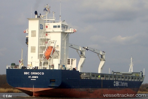
Find the position of the vessel MYS ZHELANIYA on the map. The latter are known coordinates and path.
marine traffic ship tracker show on live map
The current position of vessel MYS ZHELANIYA is 68.5584 lat / 41.4911 lng. Updated: 2025-03-04 07:52:15 UTCCurrently sailing under the flag of Russia
MYS ZHELANIYA built in 2008 year
Port of registry:
Saint John's (capital city of Antigua and Barbuda)Deadweight:
17300 tPayload_mass:
17110 tonneGross tonnage:
11864Service entry:
2008-01-01T00:00:00ZManufacturer:
Hudong-Zhonghua Shipbuilding (Chinese shipbuilding company)
Details:
Last coordinates of the vessel:
UTC, 68.5584, 41.4911, course: 179, speed: 13.5UTC, 68.5584, 41.4911, course: 179, speed: 13.5
UTC, 68.5584, 41.4911, course: 179, speed: 13.5
2025-03-04 07:52:15 UTC, 68.5584, 41.4911, course: 179, speed: 13.5
Track of the vessel in the last 14 days
The ship also appears on the maps:
- NSR 07.12.2021
- Флот компании «Эко Шиппинг»
- Northern Sea Route. General Cargo Ships & Russian icebreakers
- NSR
- Дисп АО ОЭК
- Дисп бухта Север АО ОЭК
- ДИСП бухта Север АО ОЭК 1
- Певек
- СМП999
- СМП999
- УМРЛ, карта судов 28.12.24
- СМП 2301
- КАРТА СМП-БС 1 (12.02.25г.)
- КАРТА СМП-БС -2 (13.02.2025)
- Карта СМП-БС-3 (17.02.2025)
- СМП-БС (04.03.2025)
- СМП-Бухта Север