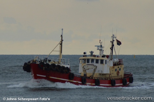
vessel Maartje IMO: 7117400, Service Ship
vesseltracker.com
Vessel Maartje IMO: 7117400, Service Ship
MMSI: 244692000 callsign: PFRI size: 31x6

Find the position of the vessel Maartje on the map. The latter are known coordinates and path.

marine traffic ship tracker show on live map

The current position of vessel Maartje is 52.0987 lat / 4.27036 lng. Updated: 2024-04-23 09:34:26 UTC

Currently sailing under the flag of Netherlands

Maartje built in 1960 year

Details:


Last coordinates of the vessel:
UTC, 52.0986, 4.27047, course: 205, speed: 0.4
UTC, 52.0987, 4.27038, course: 211, speed: 0
UTC, 52.1983, 4.22227, course: 21, speed: 0.1
2024-04-23 09:34:26 UTC, 52.0987, 4.27036, course: 209, speed: 0.1

Track of the vessel in the last 14 days


Most frequent ports a vessels calls at Maartje (244692000):

Ijmuiden, traffic: 3
Maassluis, traffic: 1

Link to the map:


Find another ship

Maartje (244692000) last ports (portcalls and passsages)

Ijmuiden | 2024-03-20 07:52:12
Ijmuiden | 2022-11-21 11:37:18
Maassluis | 2022-10-21 16:26:26
Ijmuiden | 2022-08-12 07:36:25