 vesseltracker.com
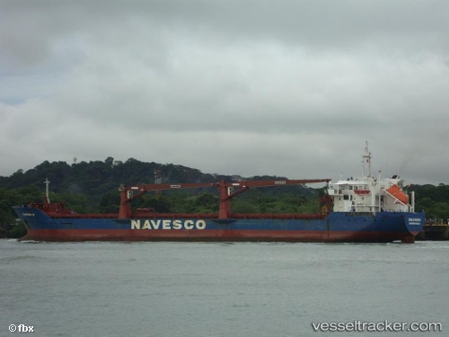
Vessel Macondo IMO: 9299109, MMSI: 371293000 Multi Purpose Carrier
UTC, 18.49895, -20.25857, course: 219, speed: 10
UTC, 18.26452, -20.43972, course: 210, speed: 9.7
2026-02-22 00:09:25 UTC, 17.95820, -20.64529, course: 209, speed: 9.6
Live AIS position:
UTC. 149 nm NE of Ilha do Sal),
updated 2026-02-22 00:09:25 UTC.
Find the position of the vessel Macondo on the map. The latter are known coordinates and path.
marine traffic ship tracker show on live map
The current position of vessel Macondo is 17.95820 lat / -20.64529 lng. Updated: 2026-02-22 00:09:25 UTCDetails:
Last coordinates of the vessel:
UTC, 18.85834, -20.05158, course: 213, speed: 10.5UTC, 18.49895, -20.25857, course: 219, speed: 10
UTC, 18.26452, -20.43972, course: 210, speed: 9.7
2026-02-22 00:09:25 UTC, 17.95820, -20.64529, course: 209, speed: 9.6