 vesseltracker.com
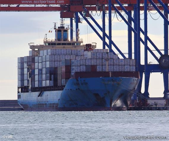
Vessel Maersk Batur IMO: 9402029, MMSI: 564398000 Container Ship
UTC, 8.96013, -79.56716, course: 318, speed: 0
UTC, 8.96011, -79.56716, course: 318, speed: 0
2026-02-21 02:20:06 UTC, 8.96009, -79.56716, course: 318, speed: 0
Live AIS position:
UTC. Near Balboa),
updated 2026-02-21 02:20:06 UTC.
Find the position of the vessel Maersk Batur on the map. The latter are known coordinates and path.
marine traffic ship tracker show on live map
The current position of vessel Maersk Batur is 8.96009 lat / -79.56716 lng. Updated: 2026-02-21 02:20:06 UTCCurrently sailing under the flag of Singapore
Maersk Batur built in 2009 year
Deadweight:
43273 tDetails:
Last coordinates of the vessel:
UTC, 8.96012, -79.56713, course: 318, speed: 0UTC, 8.96013, -79.56716, course: 318, speed: 0
UTC, 8.96011, -79.56716, course: 318, speed: 0
2026-02-21 02:20:06 UTC, 8.96009, -79.56716, course: 318, speed: 0